Massachusetts Fishing Spots
 Dec 31, 1969
|
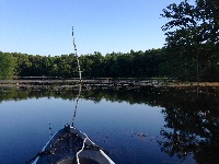
A-1/stump Pond
A-1 Site is the headwaters of the Assabet River. It was created by building the George H. Nichols Dam. It is a 325-Acre shallow lake. When it was crea... |
Map It | |
 Dec 31, 1969
|
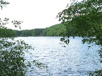
Ashfield Pond
This small, 38 acre pond is located approximately a quarter mile northeast of the |
Map It | |
 Dec 31, 1969
|
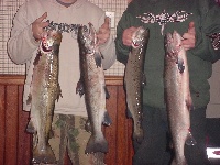
Asnacomet Pond
Also known as "Comet Pond," this 127 acre cold water pond, located just to the north of the junction of Routes 68 and 62 in Hubbardston, has... |
Map It | |
 Dec 31, 1969
|
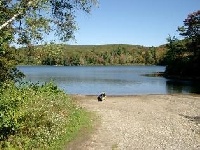
Benedict Pond
This small, 35-acre warm water pond has an average depth of five feet and a maximum depth of only eight feet. The water is clean and clear, having a t... |
No Rewiews
Views: 2188
Review Location |
Map It |
 Dec 31, 1969
|
Buffumville Lake
Located in Charlton and Oxford, this 451-acre impoundment resulted from an Army Corps of Engineers Flood Control Dam. Putnam Road bisects the reservoi... |
Map It | |
 Dec 31, 1969
|
Canton Res
The dam along Pleasant St. was rebuilt in late 2012 and the water level in the pond rose 2-3 feet. It is unclear what effect this has had on the fishi... |
Map It | |
 Dec 31, 1969
|
Center Pond
This pond has evolved from a good pickerel pond in the 1930s and 1940s to a fair smallmouth bass pond in the 1950s and 1960s. More recent survey work ... |
Map It | |
 Dec 31, 1969
|
Charles River
The Charles River is a river in Massachusetts, USA. It travels through 22 cities and towns in eastern Massachusetts, from Hopkinton to Boston on the A... |
Map It | |
 Dec 31, 1969
|
Cliff Pond
Cliff Pond is a 204 acre natural kettlehole pond with a maximum depth of 88 feet and an average depth of 28 feet. The pond gets its name from the clif... |
Map It | |
 Dec 31, 1969
|
Cook Pond
Cook Pond is a 154 acre warmwater pond, which has an average depth of 10 feet and a maximum depth of 18 feet. This pond is also known as Laurel Lake. ... |
Map It |