Massachusetts Fishing Spots
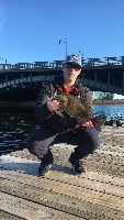
Charles River
Avg. Rating: 4.529
# Reviews: 17
Views: 37080
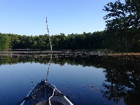
A-1/stump Pond
Avg. Rating: 4.688
# Reviews: 16
Views: 39041
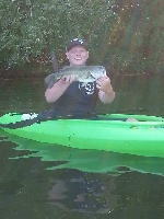
Billington Sea
Avg. Rating: 4.214
# Reviews: 14
Views: 19777
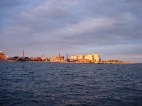
Deer Island Flats
Avg. Rating: 5
# Reviews: 8
Views: 15009
Asnacomet Pond
Avg. Rating: 4.875
# Reviews: 8
Views: 27803
Jacobs Pond
Avg. Rating: 3.455
# Reviews: 11
Views: 9026
 Dec 31, 1969
|
Forest Lake (palmer)
This is a 43-acre marginal trout pond. Roughly 10% of the volume is classified as trout water. Average depth is ten feet, while maximum depth is 26 fe... |
Map It | |
 Dec 31, 1969
|
Forge Pond
This large, 212-acre natural great pond is located an eighth of a mile south of Route 25. Maximum depth is 33 feet; average depth 15 feet. The water i... |
Map It | |
|
|
Forge Pond
Forge Pond in East Bridgewater is a public fishing area right by the East Bridgewater Water Department it is stocked every year with numerous species ... |
Map It | |
 Dec 31, 1969
|
Forge Pond (cooks Corner)
This is a relatively small, 68-acre, warm water pond located between Cooks Corner and Route 202. There are no formal boat launching facilities, but ac... |
Map It | |
 Dec 31, 1969
|
Forge River
The Forge River is a small river in the village of Raynham Center (CDP), within the town of Raynham in southeastern Massachusetts. It flows south from... |
Map It | |
 Dec 31, 1969
|
Fort Meadow Reservoir
Shoreline entirely developed so not worth fishing there. |
Map It | |
 Dec 31, 1969
|
Fort Pond
Fort Pond is an average size (76 acre) two-story pond located in Lancaster just north of Route 2 at the Lunenburg Road exit. The water is clear in col... |
Map It | |
 Dec 31, 1969
|
Fort River
The longest free-flowing tributary of the Connecticut River in Massachusetts. The Fort River contains prime habitat for fish. |
Map It | |
|
|
Foundry Pond
Very, very, very fast fishing. |
Map It | |
|
|
Franklin Branch
Park along the road and fish above and below the bridge. Good smally area. |
Map It |