Massachusetts Fishing Spots
 Dec 31, 1969
|
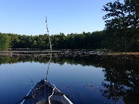
A-1/stump Pond
A-1 Site is the headwaters of the Assabet River. It was created by building the George H. Nichols Dam. It is a 325-Acre shallow lake. When it was crea... |
Map It | |
 Dec 31, 1969
|
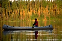
Abbey Lake
canoe/kayak only,shorefishing,nice quiet lake,no TRASH ON THE SHORE!!! |
Map It | |
 Dec 31, 1969
|
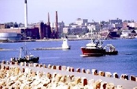
Acushnet River
The Acushnet River is the largest river feeding into the Buzzards Bay watershed in southeastern Massachusetts. The river is fed by Long Pond in Lakevi... |
Map It | |
 Dec 31, 1969
|
Agawam River
There is a state boat ramp right of of Rte 6. This give you acsees to Agawam Mill pond, which turns into the Agawam River. The river runs all the way ... |
Map It | |
 Dec 31, 1969
|
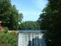
Aldrich Lake
This is a relatively small, 66-acre, infertile, warm water pond located off Amherst Street just northwest of the center of Granby. Amherst Street divi... |
Map It | |
 Dec 31, 1969
|
Alford St. Bridge
Great fishing for Striped Bass and Blues. Late Spring and Summer is the time to go. |
Map It | |
 Dec 31, 1969
|
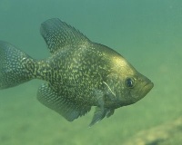
Althea Lake
This is a small, 38-acre pond with a maximum depth of 15 feet. The shoreline is only lightly developed, mostly on the eastern side of the pond. Access... |
Map It | |
 Dec 31, 1969
|
Ames Long Pond
Nutrient enrichment has resulted in excessive plant growth in the lake. As the plants die, sedimentation increases, making the pond more shallow. Nutr... |
Map It | |
 Dec 31, 1969
|
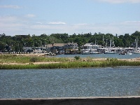
Apponagansett Bay
Apponagansett Bay is a busy harbor with more than 3000 boat moorings. The bay also has one public beach and four private beaches. Fewer moorings are s... |
Map It | |
 Dec 31, 1969
|
Ashland Reservoir
This 155-acre, two-story trout pond is located in Ashland, approximately one mile south of the town's center. The maximum depth is 47 feet; averag... |
Map It |