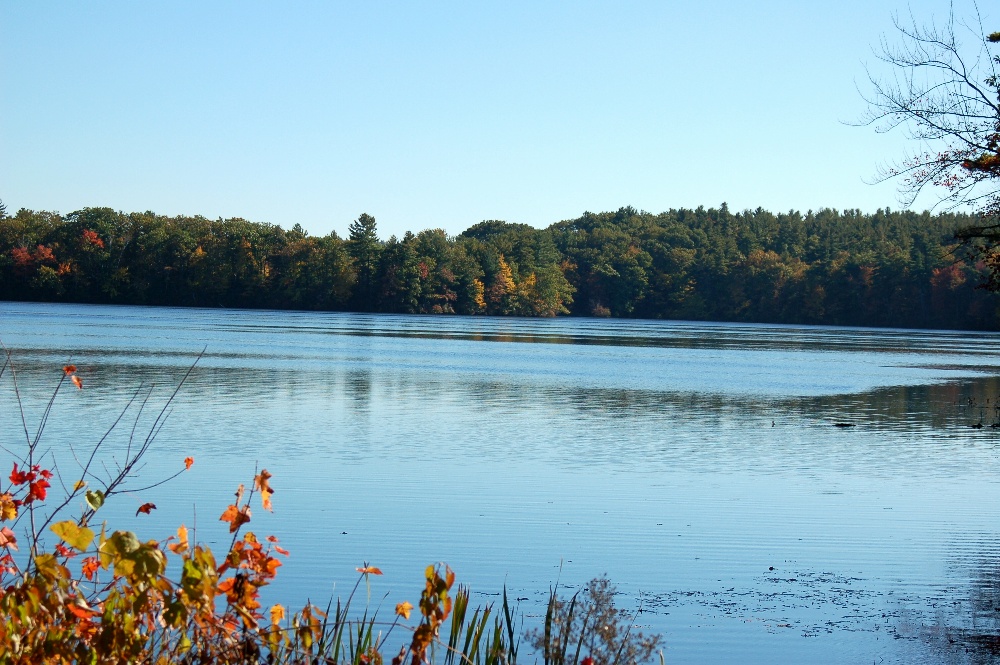
Quinapoxet River Fishing Spot
- Public Fishing: Yes
- Elevation: 566'
- Website: http://en.wikipedia.org/wiki/Quinapoxet_River
- Last Modified By: carpmaster on 08/07/09 01:36 PM
- Ask about Quinapoxet River in our Fishing Forums
Photos
Fish Species
Quinapoxet River Baits and Tackle
Crankbait Check Prices
- Lipless Crankbait and a Plastic Swimbait
In-Line Spinner Check Prices
- Blue Fox Inline Minow
Worm Check Prices
- Weedless "Pumkin" Yamamoto
spinning rig. . .Thanks Bri' !
Minnow Check Prices
- fish med-heavy shiners on bottom, rig with 1/2oz non-lead egg sinker, 18" fluorocarbon leader to size 2-4 hook.
- Not sure exactly what kind of bait fish it was, since I found it wriggling at the water's edge - my guess is a shiner or shad.
Quinapoxet River Description
The Quinapoxet River is part of the Nashua River watershed. It is part of the Massachusetts Water Resources Authority water system supplying drinking water to the greater Boston area. The Quinapoxet River heads in Princeton, Massachusetts, the watershed generally known as the Upper Worcester Plateau, or the Monadnock Upland. This watershed tops at Wachusett Mountain, the highest feature in the area. Water flows east of this area feed the Nashua River Watershed and water flows west of this area feed the Ware River Watershed or the Millers River. This river flows through portions of Rutland and Holden before entering the confluence of the Stillwater and Nashua Rivers at the Wachusett Reservoir. About 35% of the Quinapoxet sub-basin is protected open space (Worcester reservoirs' surface water included). The City of Worcester owns the land that immediately surrounds each of its reservoirs and approximately 25% of its entire water supply watershed. It is a highly protected forest with no public access. Furthermore, the Massachusetts Water Resource Authority (MWRA) owns much of the land. The Town of Holden owns over 600 acres as the Trout Brook Conservation Area, and Massachusetts Audubon Society owns several hundred acres in the Wachusett Meadow Wildlife Sanctuary in addition to other properties within this sub-basin. The lower Quinapoxet rates on alert for biology, chemistry and hydrology. Chaffin's Brook is considered a "moderately septic polluted stream" and its lower reach has noxious aquatic plants in an impoundment. Trout Brook in Holden is considered to be high quality habitat and have limited disturbance. There are a number of medium yield aquifers surrounding Holden center and to protect this resource the town has passed an aquifer protection bylaw.
The Quinapoxet River is part of the Nashua River watershed. It is part of the Massachusetts Water Resources Authority water system supplying drinking water to the greater Boston area. It is part of the Nashua River Watershed.
