Massachusetts Fishing Spots
 Dec 31, 1969
|
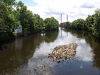
Taunton River
Taunton River flows 44 miles from the confluence of the Town and Matfield Rivers into Rhode Island's Mount Hope Bay. The 562 square mile Taunton R... |
Map It | |
 Dec 31, 1969
|
Winnecunnet Pond
This 148-acre, weedy, warm water pond has an average depth of six feet and a maximum depth of 11 feet. The fertile, stained water is transparent to fi... |
Map It |